The Ice Age and Origins of the Humber Watershed
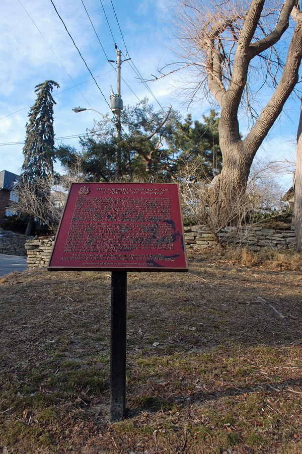
Toronto, Ontario
Toronto, Ontario
Introduction
Overview of the
Humber River
Global and Continental Glaciation
Land Form Development in North America
Geological History
of the Great Lakes
Development of the
Oak Ridges Moraine
Geology of the
Humber River Watershed
Ecology & Recreation
Early Inhabitants
Maps of the
Humber River Watershed
Photo Gallery - Humber River Watershed
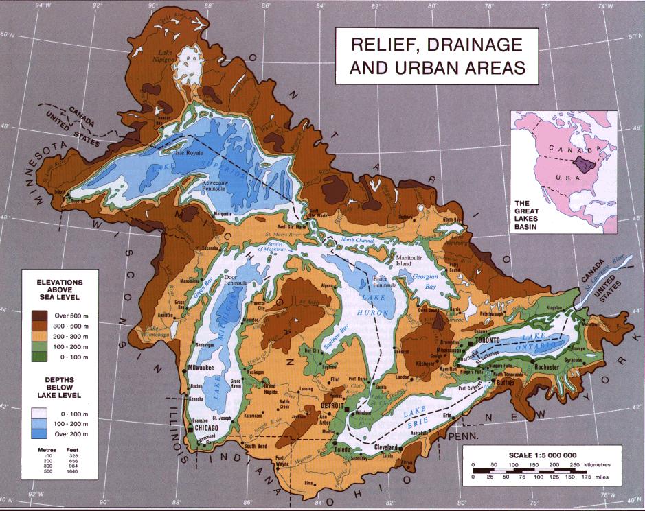
A Map of the Great Lakes
The Great Lakes
2. Before glaciation, Lake Huron was a depression through which flowed the now-buried Laurentian and Huronian Rivers; the lake bed was criss-crossed by a network of tributaries to these ancient waterways, with old channels still evident on bathymetric maps.
3. The basins that contain the Great Lakes are the product of repeated scour and erosion of weak bedrock by continental glaciers that advanced into the Great Lakes watershed beginning as early as 2.4 Ma. Most of the scouring, however, occurred after about 0.78 Ma when episodic glaciation of North America was more extensive.
4. Stratigraphic evidence from outside the watershed indicates that glacier ice extended over all or part of the watershed at least six times since 0.78 Ma. extending as far south as Kentucky.
5. The last glaciation of the Great Lakes watershed is well documented by glacial sediments, recessional moraines, and buried organic deposits. The eastern part of the watershed was first glaciated between 65 to 79 ka and that the ice margin oscillated there until about 25 km.
Click to continue ==> next page