The Ice Age and Origins of the Humber Watershed
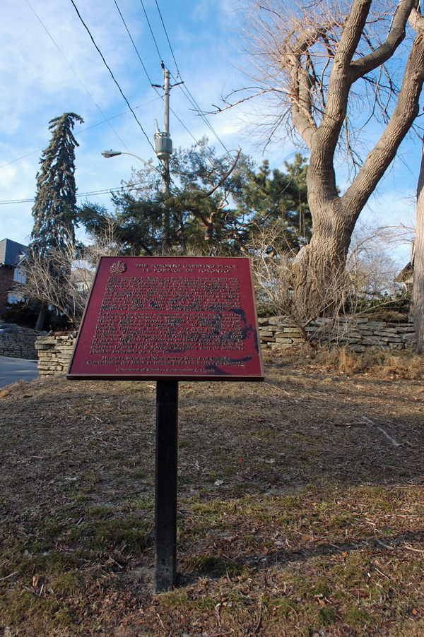
Toronto, Ontario
Overview of Geological Origins of the Humber River
Part V - Stratigraphic framework cont'd
In most of the Humber River watershed, the bedrock consists of Georgian Bay Formation (see image of interbedded limestone and shale).
These rocks were deposited over the Canadian Shield over a period of about 200 million years, beginning approximately 550 million years before present.
The structures of these Paleozoic rock influence the groundwater resources and hydrologic flow patterns.
Laurentian River System
Investigations have provided evidence that an underground buried channel called the Laurentian Valley exists in the Humber River watershed and Oak Ridges Moraine. This valley is part of a system that
extends from Georgian Bay to Lake Ontario near Toronto (Spencer, 1881; Eyles et al., 1993;
Middleton, 2004).
 This valley system represents a pre glacial, sub aerial river system that carved a valley up to 1.5 km wide, and 70 m deep, with several associated tributary valleys.
Beneath the ORM, the geometry of the bedrock surface remains poorly defined, as few wells have been drilled into the bedrock. Investigations indicate a trunk and tributary valley system
(Brennand et al., 1997).
This valley system represents a pre glacial, sub aerial river system that carved a valley up to 1.5 km wide, and 70 m deep, with several associated tributary valleys.
Beneath the ORM, the geometry of the bedrock surface remains poorly defined, as few wells have been drilled into the bedrock. Investigations indicate a trunk and tributary valley system
(Brennand et al., 1997).
In the Town of Caledon portion of the Humber watershed, valleys eroded into the Niagara Escarpment and formed tributary valleys draining into the main Laurentian
Channel.
Two subsurface deep tributaries are interpreted as providing an outlet for groundwaters that empty along the north shore of Lake Ontario with one outlet near Humber Bay.
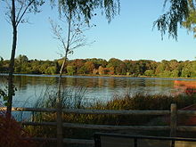
The question has arisen as to whether the source of water for Grenadier Pond arises from an aquifer
associated with the ancient Laurentian Channel that emptied into the ancient shoreline of Humber Bay near High Park.
Read article about ancient Aquifer in High Park
| High Park Aquifer Found |