The Ice Age and Origins of the Humber Watershed
Toronto, Ontario
Toronto, Ontario
Introduction
Overview of the
Humber River
Global and Continental Glaciation
Land Form Development in North America
Geological History
of the Great Lakes
Development of the
Oak Ridges Moraine
Geology of the
Humber River Watershed
Ecology & Recreation
Early Inhabitants
Maps of the
Humber River Watershed
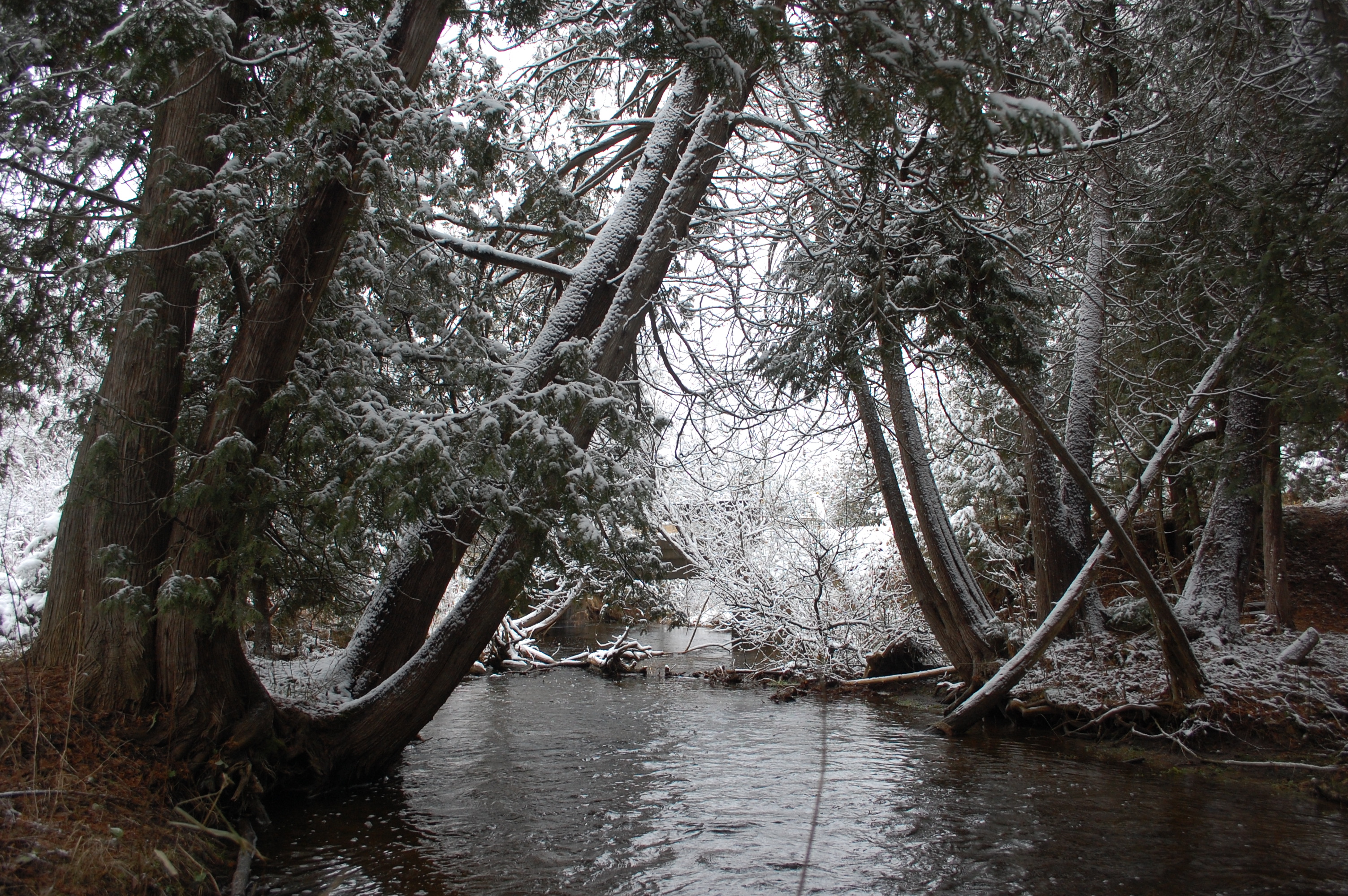
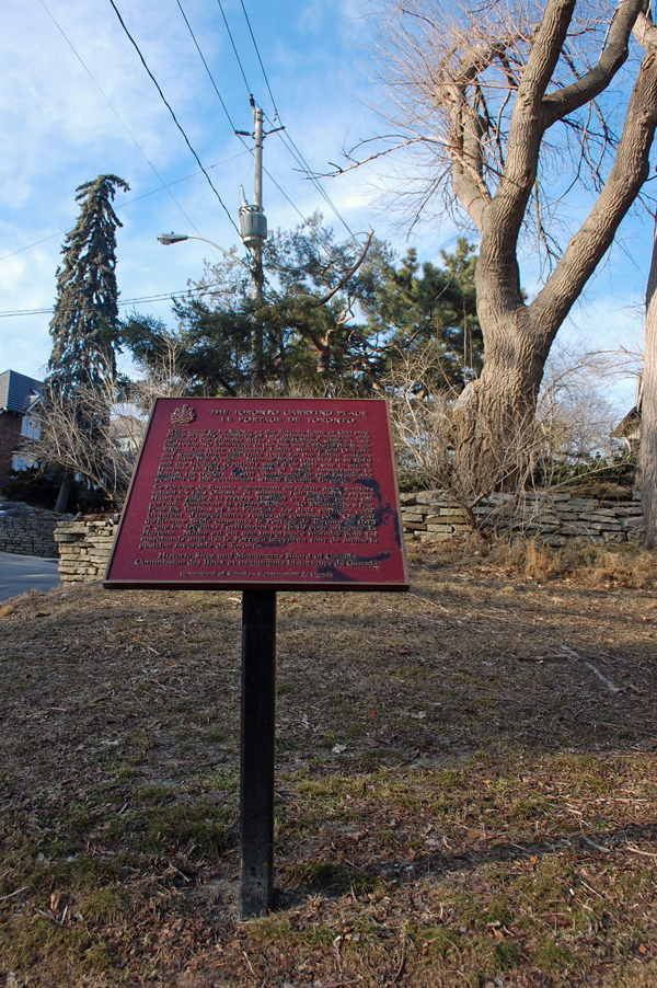
Photo Gallery Humber River Watershed

Map of the Humber Watershed